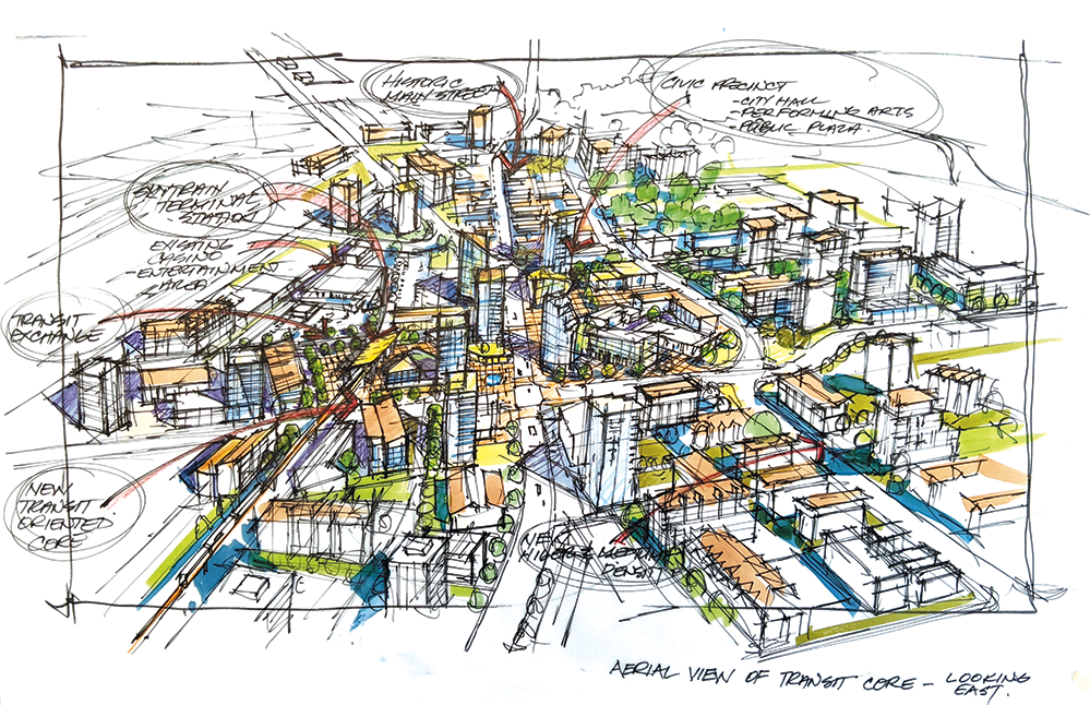
The Official Community Plan is a policy guide for managing land use and development in the City of Langley. Official Community Plan Bylaw, No. 3200 received final adoption by City Council on November 22, 2021, and is now in effect.
The adopted Official Community Plan, composed of the main document and two appendices, can be viewed below:
- Official Community Plan (OCP)
- Appendix A - Nicomekl River District Neighbourhood Plan
- Appendix B: District Policies
The preceeding electronic version (PDF) is provided for convenience only and is not an official copy of the bylaw. For detailed information on the Official Community Plan please contact the Development Services Department. A new Zoning Bylaw is now in development to implement the new Official Community Plan. Updates, including opportunities for engagement, will be posted on the project webpage.
RELATED MATERIAL
Downtown Master Plan
Brownfield Redevelopment Strategy
Metro Vancouver's Regional Growth Strategy
2023-2028 Strategic Plan
Other Development Plans & Strategies
OCP DEVELOPMENT PROCESS MATERIALS
Research & Drafts
- Background Research Report
- Key Directions Report
- Land Use Concept 1
- Land Use Concept 2
- OCP Draft 1
- Appendix A: Nicomekl River District Neighbourhood Plan Draft 1
- Appendix B: District Policies Draft 1
Reports
- Official Community Plan Bylaw No. 3200
- OCP Explanatory Staff Report - 1st & 2nd Reading
- OCP Explanatory Staff Report - Post-Public Hearing
- OCP Explanatory Staff Report - 3rd Reading
- Table 1: Public Hearing Input, Responses and Rationale
- Table 2: Public Hearing Input: Proposed Updates to OCP Bylaw No. 3200
- Table 3: Proposed Updates to OCP Bylaw No. 3200 Based on Legal Review
- OCP & Nicomekl River District Neighbourhood Plan Public Engagement Summary
Nicomekl River District Neighbourhood Plan